Event Details
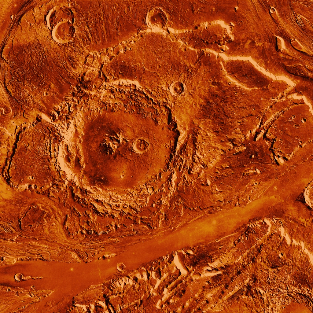
For decades the planet Mars has been visited and surveyed by robotic rovers, landers and orbiting satellites in order study the planet’s surface features, geology, environment and atmosphere. On Earth Geographical Information Systems (GIS) have been used to successfully map, analyse, and visualise this ‘spatial data’ collected from Aircraft and Satellites to understand and manage our world.
Did you know a GIS can be used on other planets? Join our workshop we will map and view the amazing surface features imaged by the HiRISE camera on NASA’s Mars Reconnaissance Satellite Orbiter surface rovers. Discover vast plains, deep canyons, high mountain ranges, ice caps, extensive dune fields, wide craters and even Martian Glaciers! Mars needs mappers and future surveyors!
Event Partners